Explore
Trail Sections
Each trail section represents a portion of the Fall Line. Explore what’s open today, what’s under construction, and what’s coming next.

Use the Trail Today!
The two open sections listed below are connected in one main contiguous section, spanning just under 5 miles starting in Ashland, proceeding through Hanover County, and crossing the Chickahominy River into Henrico County. As of Summer 2026, this is the only main section currently open.
The trail is accessible from a connector trail on Woodman Road on the southern end, and from Downtown Ashland on the northern end, with parking at Carter Park and at Ashland’s downtown library.
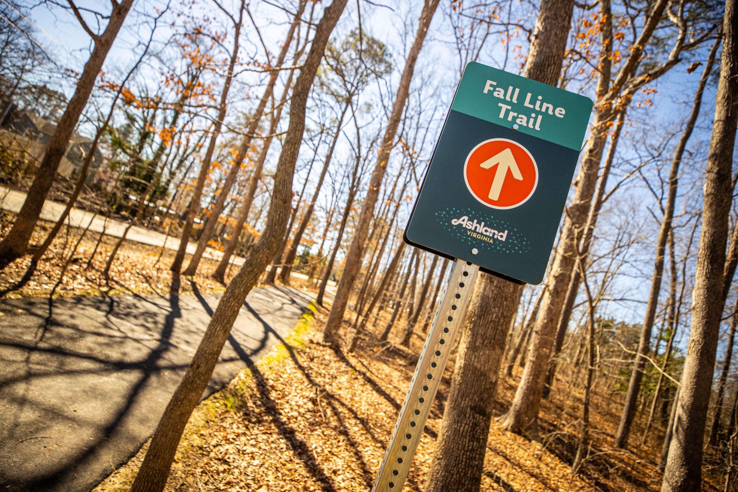
Ashland
Trolley Line Section
Access Points:
Ashland Library Downtown Parking
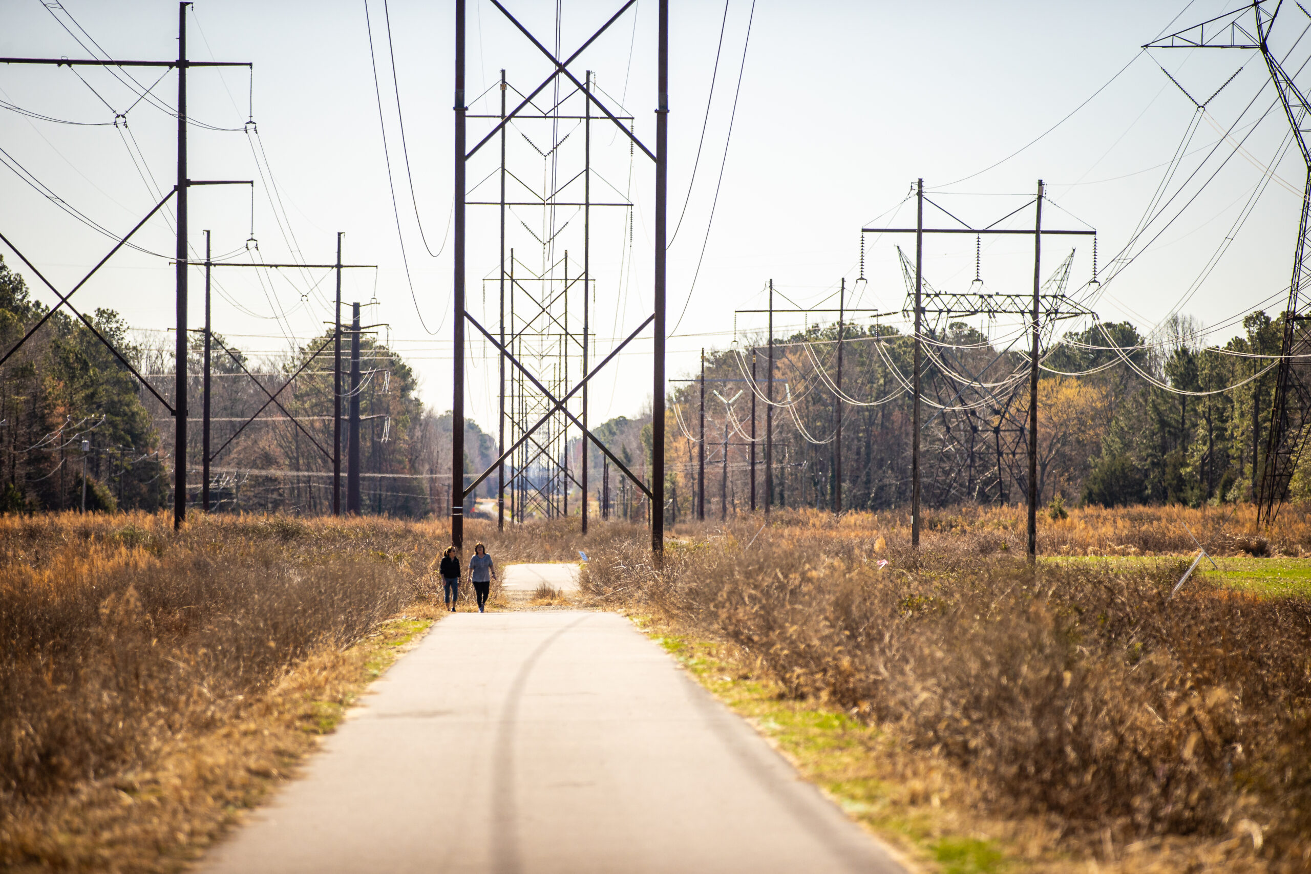
Hanover
Power Line Section
Access Points:
Ashland Library Downtown Parking
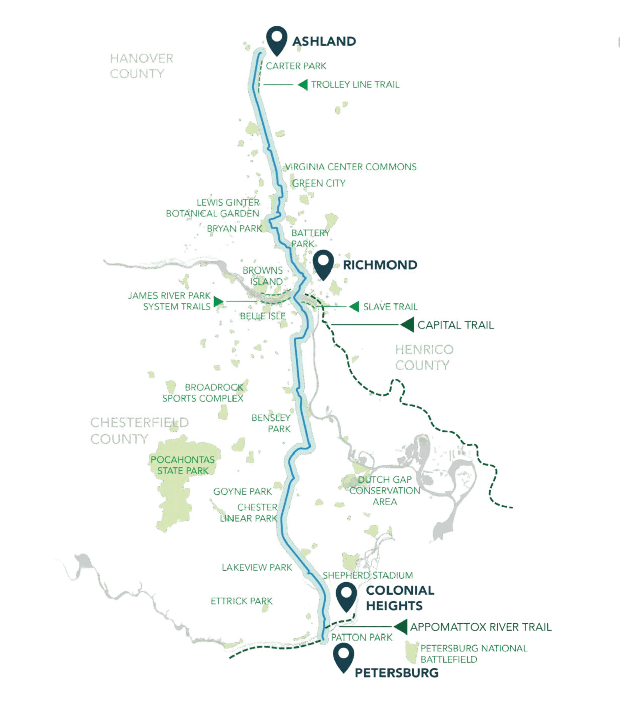
The Fall Line Corridor
Stretching across multiple localities, the Fall Line trail connects neighborhoods, destinations, and natural spaces throughout Central Virginia.
43 Miles
Planned multi-use trail connecting Central Virginia
7 Localities
Rural, suburban, and urban communities connected
20+ Miles
Open or under construction
2034
Target year of full corridor completion
Join Us for What’s Next
Stay connected to the Fall Line and support the work as new trail sections take shape across the region.