Hanover
Power Line Section
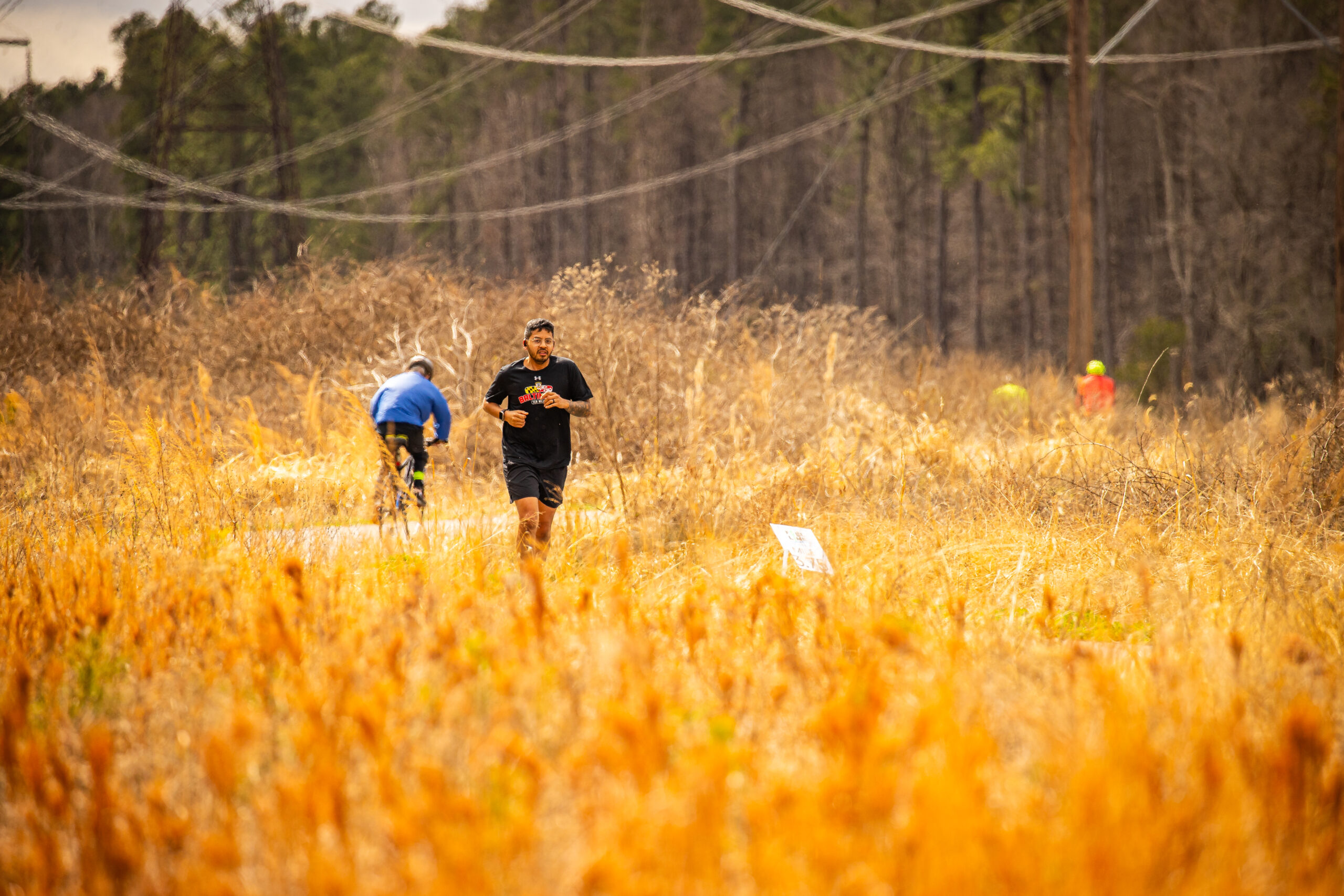
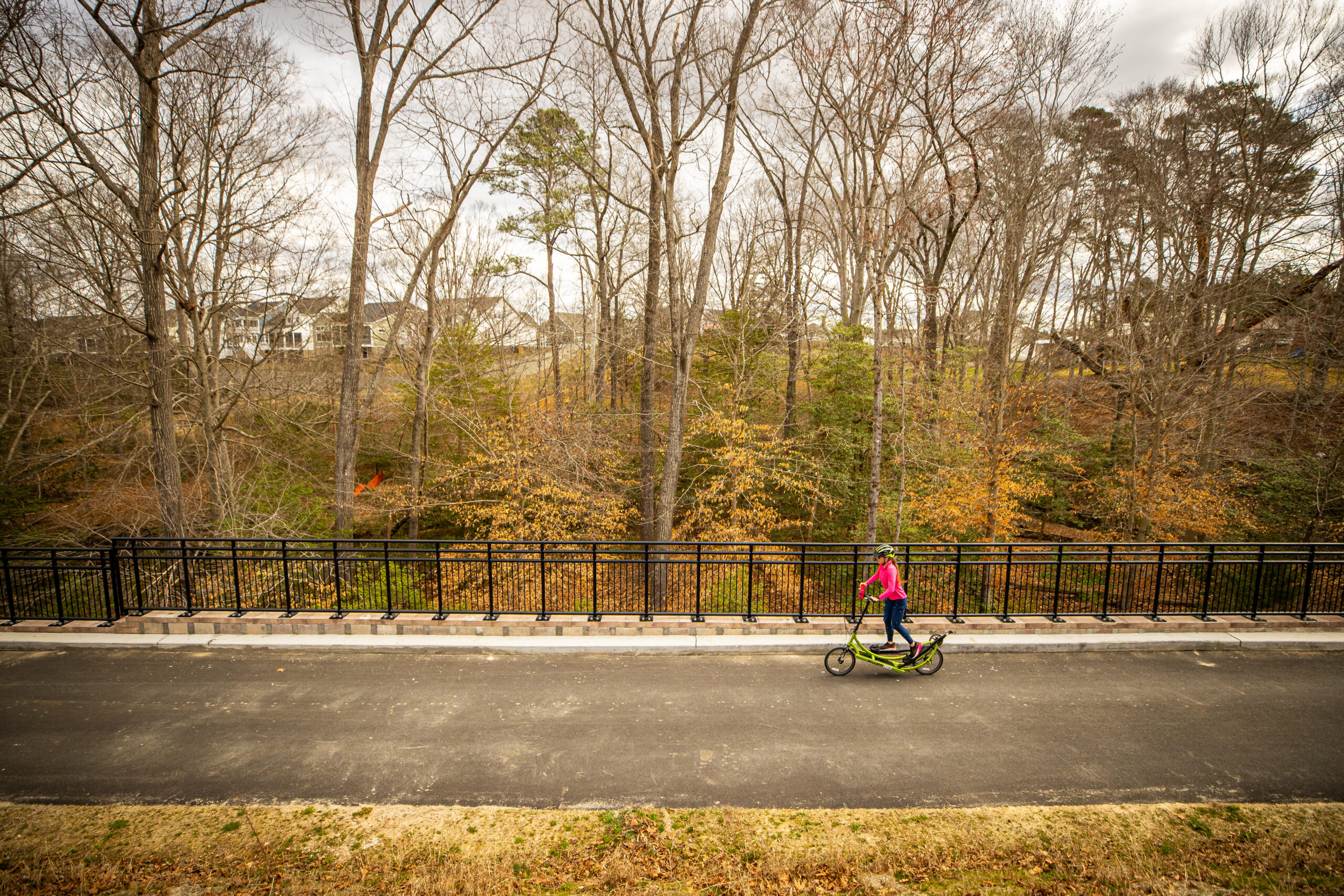
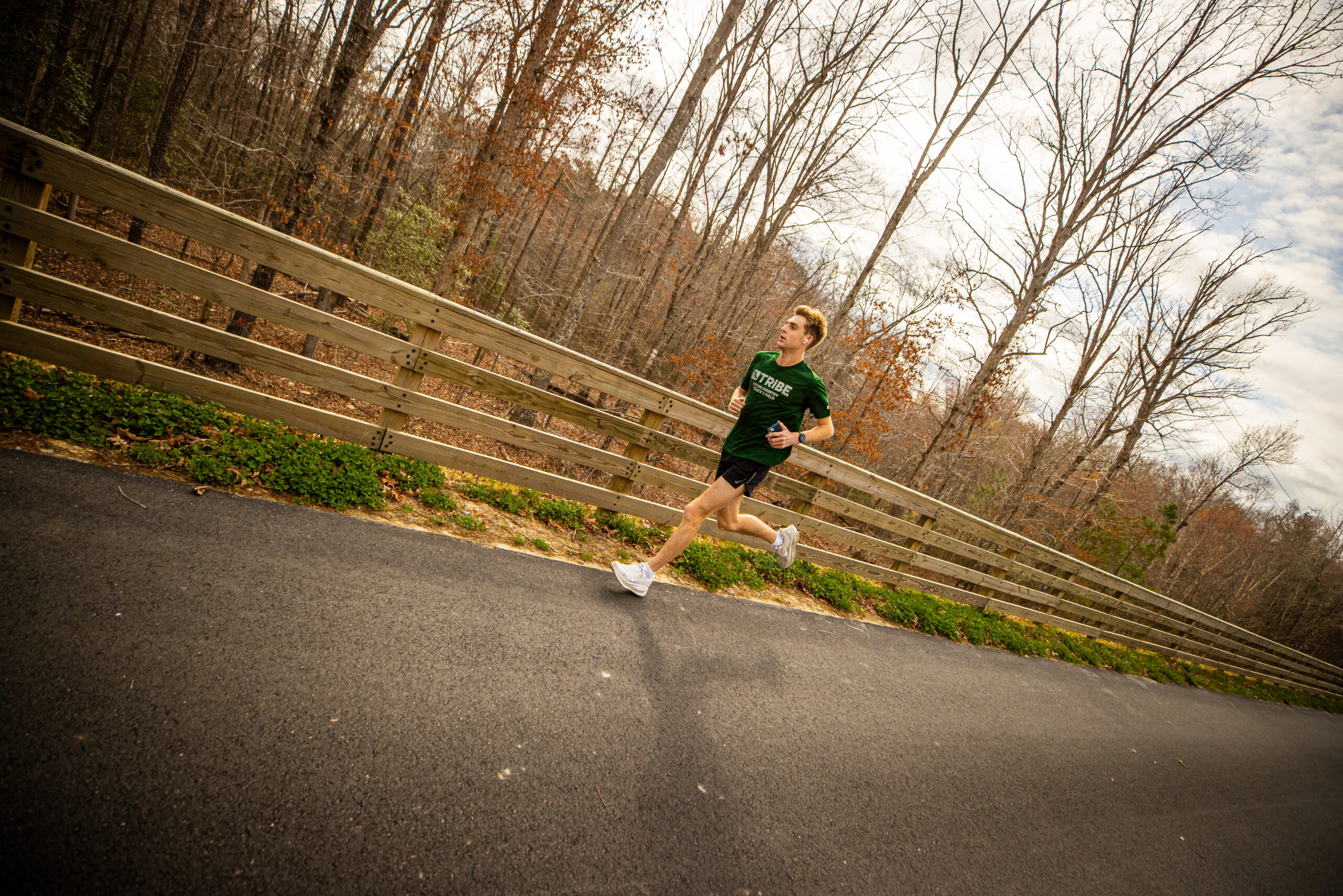
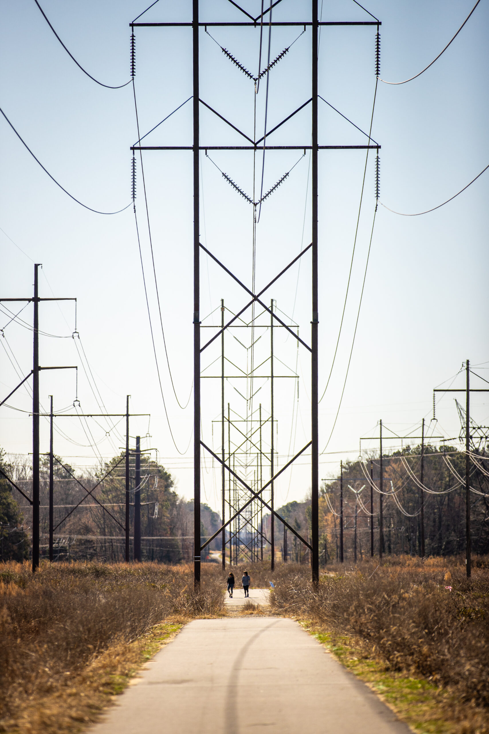
The Power Line Section is open and ready to ride! This section connects the Ashland Trolley Line Trail through Hanover County to Woodman Road in Henrico County—marking the completion of the Fall Line’s first regional segment.
Access Points:
Ashland Library Downtown Parking
General Information:
In Hanover County, the Fall Line offers a unique blend of scenic landscapes and everyday connectivity. Currently, four miles are complete and open for use—connecting the Ashland Trolley Line Trail through Hanover County to Woodman Road in Henrico County and marking the first completed regional segment of the trail.
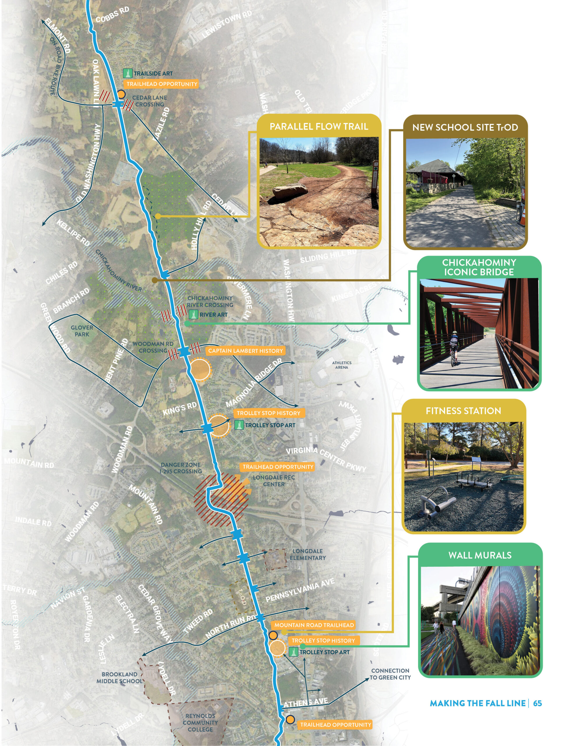
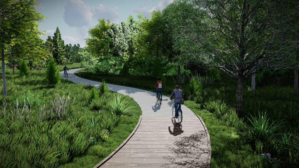
Beginning near Cobbs Road, the trail follows a wide power line easement, creating a peaceful corridor defined by forests and farmland as it approaches the Chickahominy River. As it continues south toward Glen Allen, the trail connects to neighborhoods, commercial areas, and key destinations, including Glover Park and the Virginia Center Commons area.
Designed as both a scenic route and a neighborhood trail, this section emphasizes accessibility, safety, and a high-quality outdoor experience—linking communities while highlighting the natural beauty of the region.
Parking
Year-round parking is available at Carter Park, although parking may be limited during the pool season from May-September. Year-round parking is also available at the Fall Line trailhead located adjacent to the Ashland Library. Ashland hosts festivals and events throughout the year and parking may be limited at times.
Trailhead Amenities
Carter Park
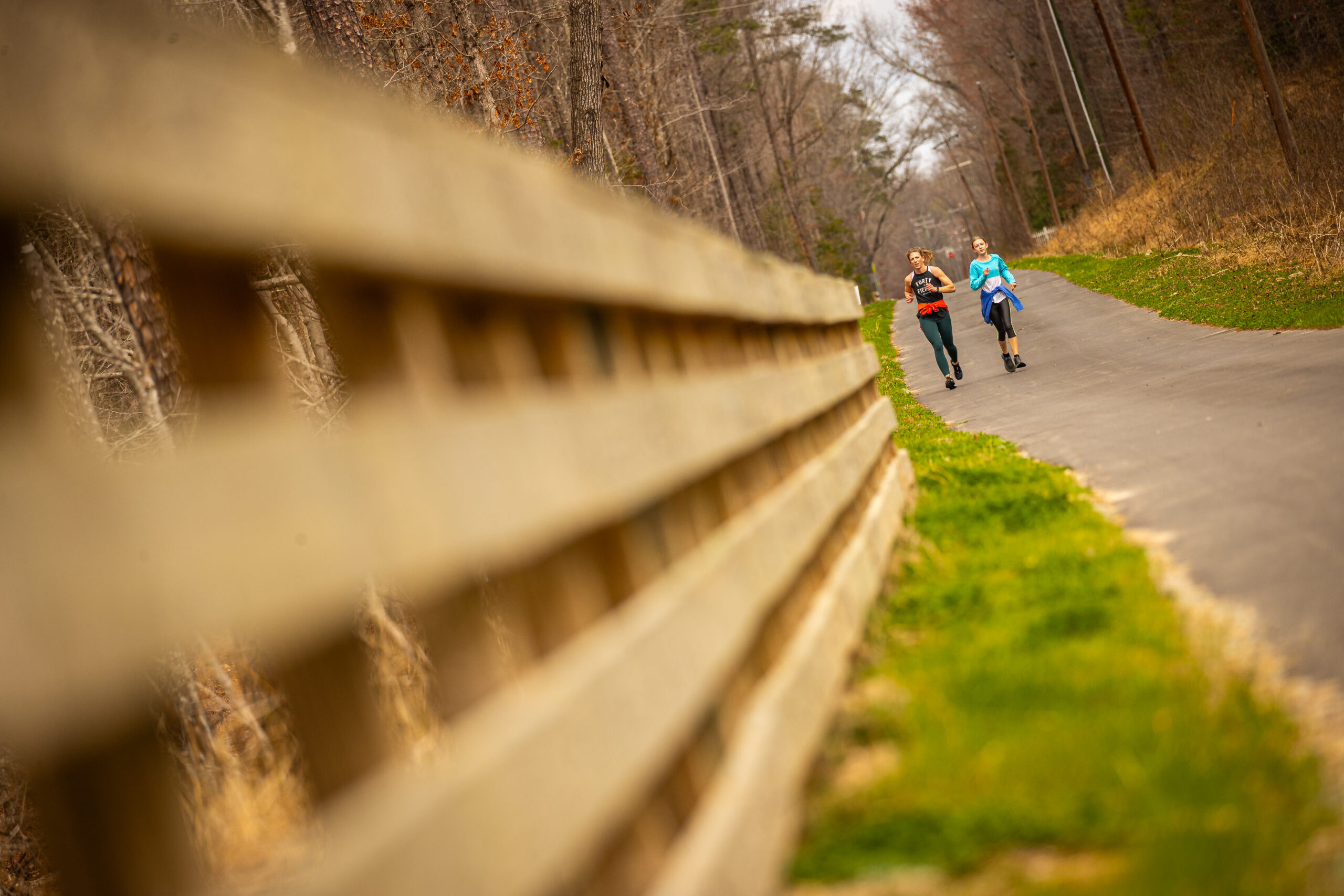
Carter Park, located between South Center Street and Maple Street, is the heart of Ashland’s park system and a convenient access point to Fall Line. The park features a junior Olympic–size pool with a slide and kiddie pool (seasonal), a half basketball court, playground, picnic shelter and picnic areas, and scenic gravel trails through the woods. Visitors will also find a bike repair station in the parking lot near Ashcake Road and ample parking for those accessing the Trolley Line section of the Fall Line. The trail will transition to the Power Line Section of the Fall Line about a 0.6 miles into your ride.
Ashland Library Downtown Trailhead
Located adjacent to the Ashland Library, this Fall Line trailhead offers convenient parking and easy access to downtown Ashland. Visitors will find a bike repair station and a Fall Line–inspired art installation, and are within walking distance of numerous restaurants and shops. From the trailhead, it’s a short 0.5-mile ride through Ashland’s quaint neighborhood streets to the northernmost starting point of the Fall Line. Once on the Fall Line, it will be about a 0.6-mile ride until you reach the Power Line section of the trail.
Power Line Section Section
Overview
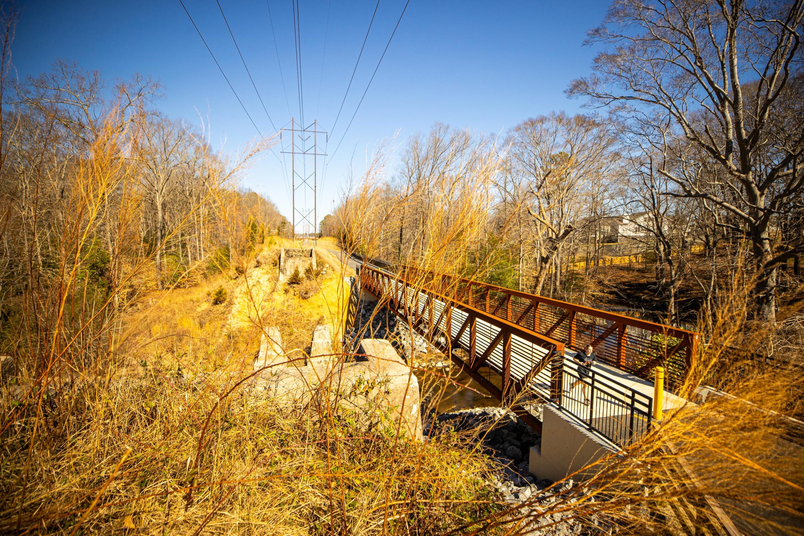
Traveling south from Cobbs Road, the Fall Line trail begins a nearly six mile segment along a wide power line easement. This character area is dominated by forests and farmland in the northern approach to the Chickahominy River crossing just north of Woodman Road. Continuing south, the trail passes through the suburban neighborhoods of Glen Allen, crosses I-295 and connects to commercial, institutional, and recreational destinations on either side of Parham Road.
Vision Elements


The Fall Line becomes both a Scenic Route and as a Neighborhood Trail through the Power Line character area. Key elements of these typologies for this section include:
- On-street connections to Virginia Center Commons and Parham Road shopping centers
- Interstate overlay at I-295
- Emphasis on elevating the natural experience through wooded areas north of the Chickahominy River
- Solar light fixtures with automatic detection and adjustable timing
Nearby Restaurants & Attractions
Together, these destinations highlight Hanover County’s unique mix of small-town character and outdoor access along the Fall Line.
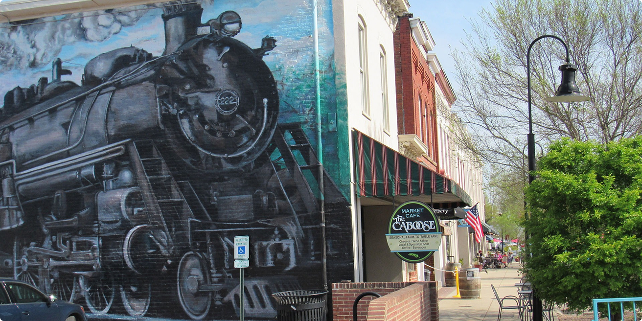
Historic Downtown Ashland
Ashland’s origin story is on full display in its historic downtown, where railroad tracks run through the center of town. Originally developed as a mineral springs resort in the 1840s, today the area is filled with eclectic shops, local restaurants, and historic landmarks—making it a perfect stop for walkers and cyclists exploring the Fall Line.
Glover Park
Set along the scenic Chickahominy River corridor, Glover Park offers a dynamic mix of recreation and natural beauty—making it a great stop along the Fall Line. Already home to lighted turf fields and sand volleyball courts, the park is quickly evolving into a premier regional destination for both play and relaxation.
One of the region’s largest dog parks, playground, multi-purpose fields, and trails will open in 2026.
FAQs
Have questions about the Fall Line? Visit our FAQ page for quick answers about the trail’s route, timeline, and what to expect.
How long is the trail?
The Fall Line is a 43-mile continuous trail that will run from Ashland to Petersburg and will connect seven central Virginia localities.
What is the Fall Line completion date?
Planning for the Fall Line officially started in 2019, with a few unofficial years before that. Excluding the .6-mile section is Ashland that started as a separate, earlier project, ground officially broke on the Fall Line in late 2023. The projected date for the completed trail is sometime between 2029 and 2031. However, large sections are expected to be completed sooner, such as 13 contiguous miles from Richmond to Ashland in 2026.
Why is it called the Fall Line?
The Fall Line name reflects the corridor’s unique topography that parallels the geological fall line, a consistent drop in elevation that separates the flat coastal plain and the hillier piedmont region that runs the length of the east coast of the US. The fall line is responsible for the rocks and rapids in the James River that limited westward boat travel for early European settlers and explains why Richmond is located where it is.
Who will maintain the trail?
Maintenance and programming agreements are still being developed by trail administration partners. As of early 2024, VDOT has committed to maintaining the paved sections of trail. Other maintenance such as vegetation control and collecting trash will be administered by individual localities. Establishing an organization to oversee and program the trail is still in development under the coordination of the CVTA.