ashland
Trolley Line Section
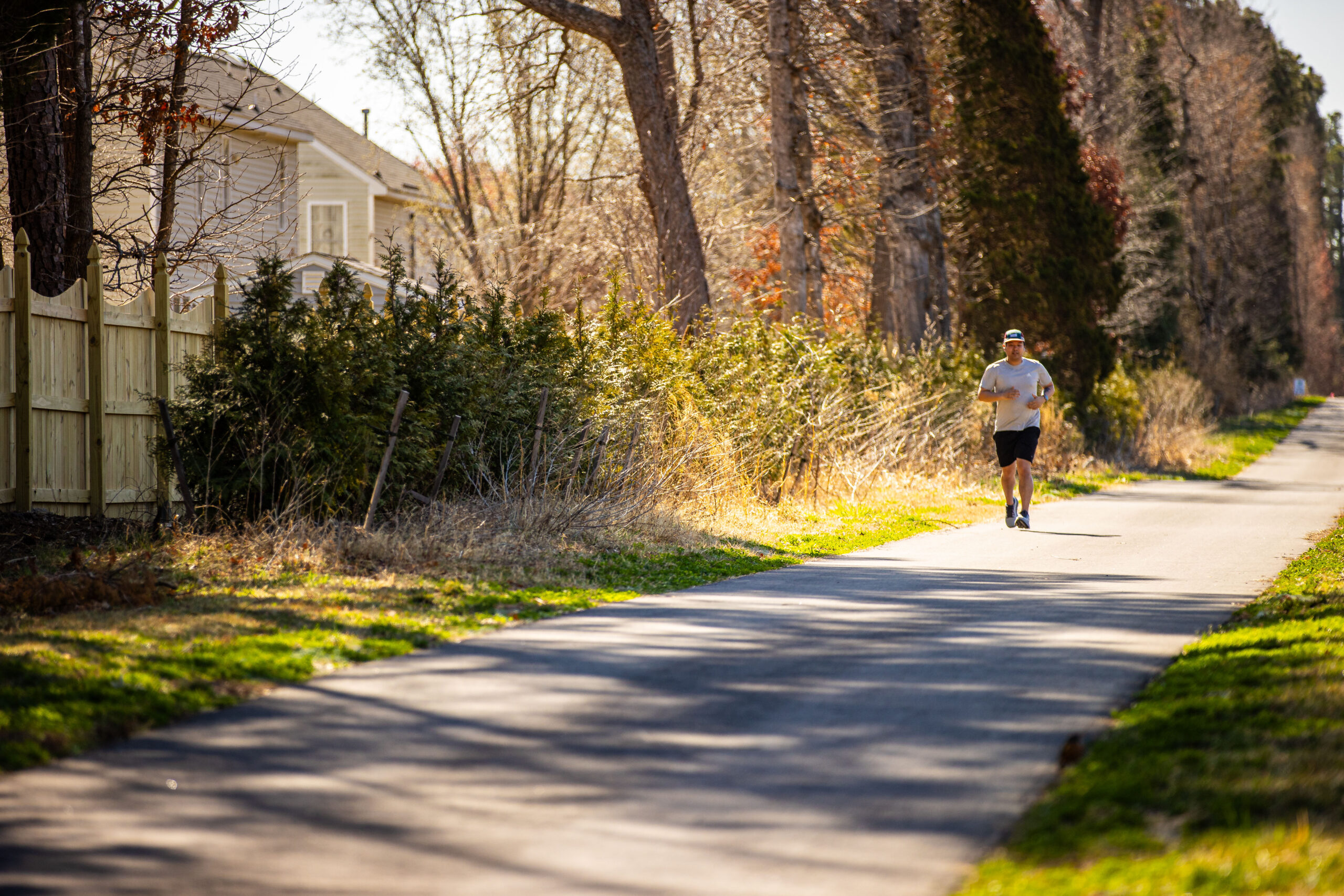
Start your Fall Line journey in the colorful small town of Ashland, Virginia. Choose from two trailheads, explore downtown, then hop on the trail following the path of a historic trolley line.

Access Points:
Ashland Library Downtown Parking
General Information:
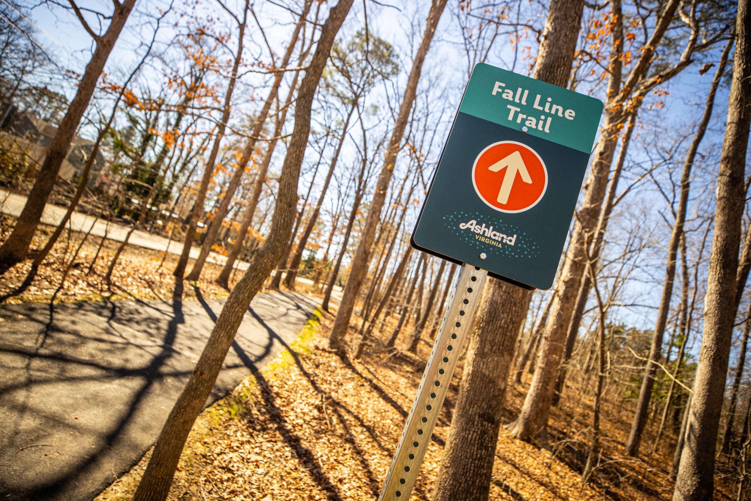
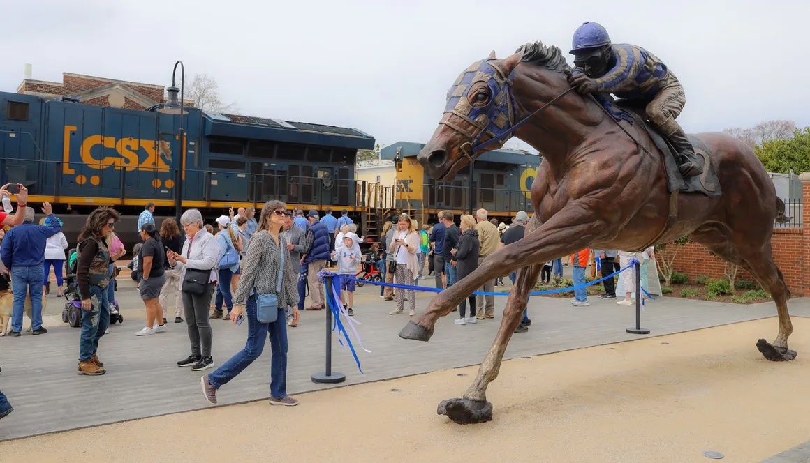
The Ashland Trolley Line section marks the beginning of the Fall Line and follows the route of a historic trolley line that once connected communities in the region. This 0.6-mile segment links to the existing 4-mile trail in Hanover County and extends to Woodman Road in Henrico County, creating more than 4.5 miles of continuous finished trail.
Completion of this segment marks the first regional stretch of the Fall Line and establishes an early connection between Hanover and Henrico counties as the larger trail network continues to grow.
Parking
Year-round parking is available at Carter Park, although parking may be limited during the pool season from May-September. Year-round parking is also available at the Fall Line trailhead located adjacent to the Ashland Library. Ashland hosts festivals and events throughout the year and parking may be limited at times.
Trailhead Amenities
Carter Park
Carter Park, located between South Center Street and Maple Street, is the heart of Ashland’s park system and a convenient access point to Fall Line. The park features a junior Olympic–size pool with a slide and kiddie pool (seasonal), a half basketball court, playground, picnic shelter and picnic areas, and scenic gravel trails through the woods. Visitors will also find a bike repair station in the parking lot near Ashcake Road and ample parking for those accessing the Trolley Line section of the Fall Line.
Ashland Library Downtown Trailhead
Located adjacent to the Ashland Library, this Fall Line trailhead offers convenient parking and easy access to downtown Ashland. Visitors will find a bike repair station and a Fall Line–inspired art installation, and are within walking distance of numerous restaurants and shops. From the trailhead, it’s a short 0.5-mile ride through Ashland’s quaint neighborhood streets to the northernmost starting point of the Fall Line.
Trolley Line Section
Overview
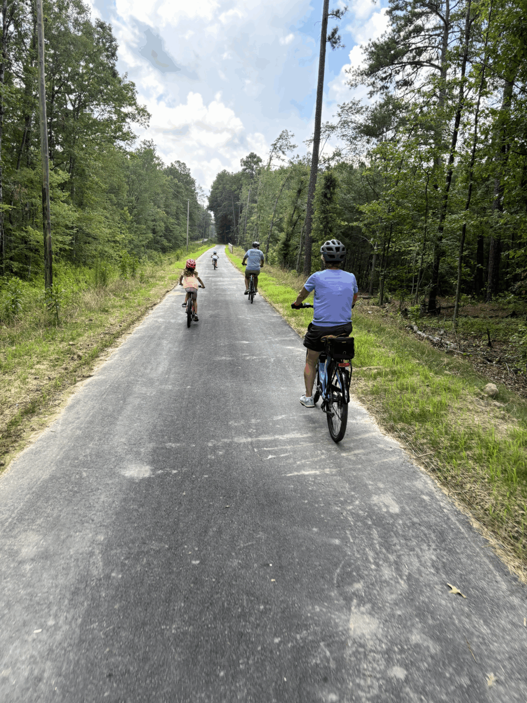
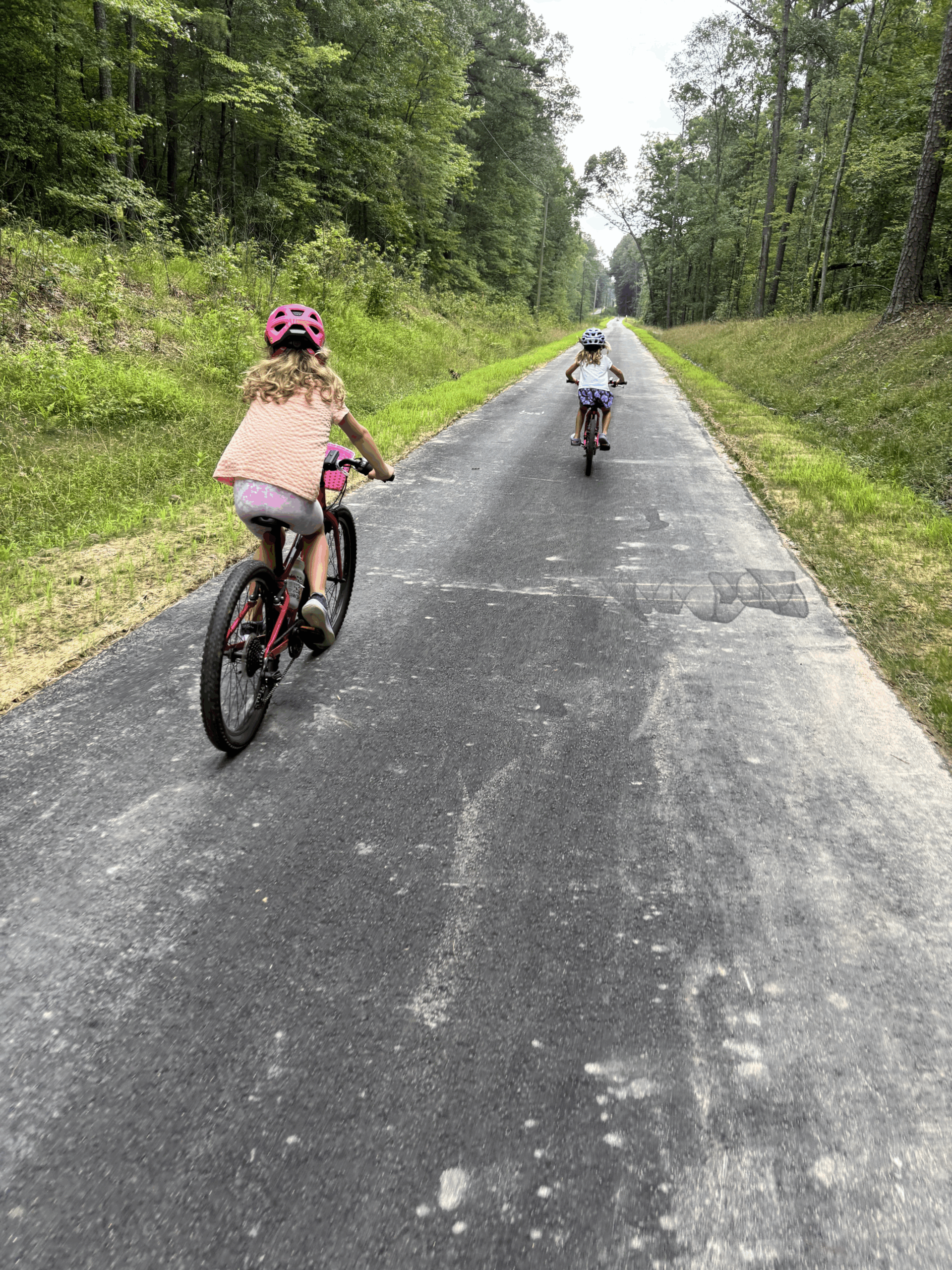
The Trolley Line character area starts at the northern gateway of the Fall Line at Carter Park in the Town of Ashland. The trail follows the old trolley line that last carried passengers between Richmond and Ashland more than 80 years ago. Downtown Ashland and Randolph Macon College are less than a mile from the trailhead. For those just beginning their journey, the Trolley Line section covers the first two miles through peaceful woodlands to the intersection with Cobbs Road in Hanover County.
Vision Elements


The Fall Line through this context area incorporates elements of the Main Street Trail north into Ashland and the Scenic Route typology south through the existing Trolley Line corridor. Key elements of these typologies for this section include:
- On-street bicycle and pedestrian connections into downtown Ashland
- Historical markers
- Boardwalks and interpretive signage through environmentally sensitive areas
Nearby Restaurants & Attractions
Just north of Richmond, the vibrant small town of Ashland—known to locals as the “Center of the Universe”—blends historic charm, lively restaurants, arts, and outdoor adventure into the perfect destination.
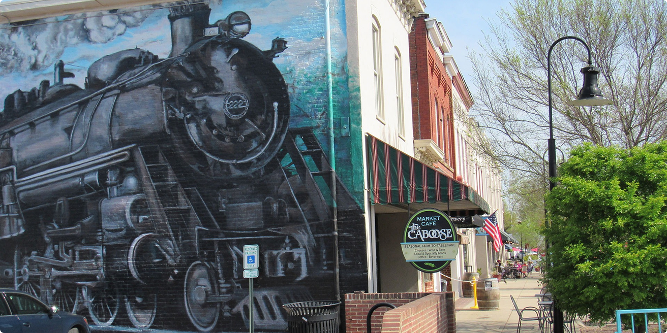
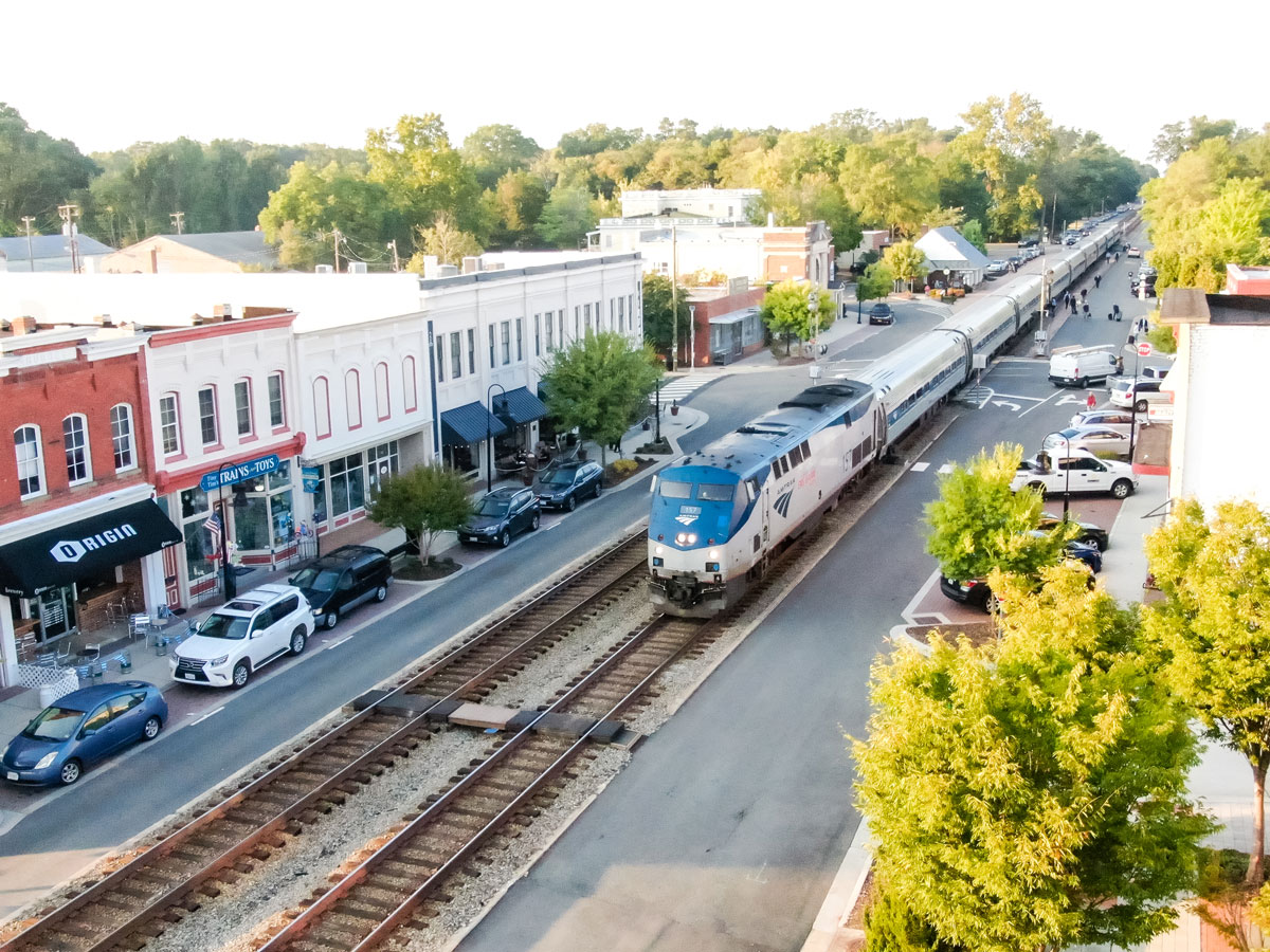
Historic Downtown Ashland
Ashland’s origin story is on full display in its historic downtown, where railroad tracks run through the center of town. Originally developed as a mineral springs resort in the 1840s, today the area is filled with eclectic shops, local restaurants, and historic landmarks—making it a perfect stop for walkers and cyclists exploring Fall Line.
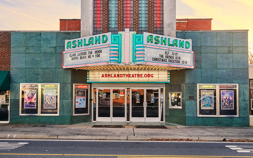
Ashland Theatre
Ashland Theatre is a historic theatre and performing arts venue with a mission to reinvent the classic American movie house experience through exceptional film, live performances, and live music.
FAQs
Have questions about the Fall Line? Visit our FAQ page for quick answers about the trail’s route, timeline, and what to expect.
How long is the trail?
The Fall Line is a 43-mile continuous trail that will run from Ashland to Petersburg and will connect seven central Virginia localities.
What is the Fall Line completion date?
Planning for the Fall Line officially started in 2019, with a few unofficial years before that. Excluding the .6-mile section is Ashland that started as a separate, earlier project, ground officially broke on the Fall Line in late 2023. The projected date for the completed trail is sometime between 2029 and 2031. However, large sections are expected to be completed sooner, such as 13 contiguous miles from Richmond to Ashland in 2026.
Why is it called the Fall Line?
The Fall Line name reflects the corridor’s unique topography that parallels the geological fall line, a consistent drop in elevation that separates the flat coastal plain and the hillier piedmont region that runs the length of the east coast of the US. The fall line is responsible for the rocks and rapids in the James River that limited westward boat travel for early European settlers and explains why Richmond is located where it is.
Who will maintain the trail?
Maintenance and programming agreements are still being developed by trail administration partners. As of early 2024, VDOT has committed to maintaining the paved sections of trail. Other maintenance such as vegetation control and collecting trash will be administered by individual localities. Establishing an organization to oversee and program the trail is still in development under the coordination of the CVTA.