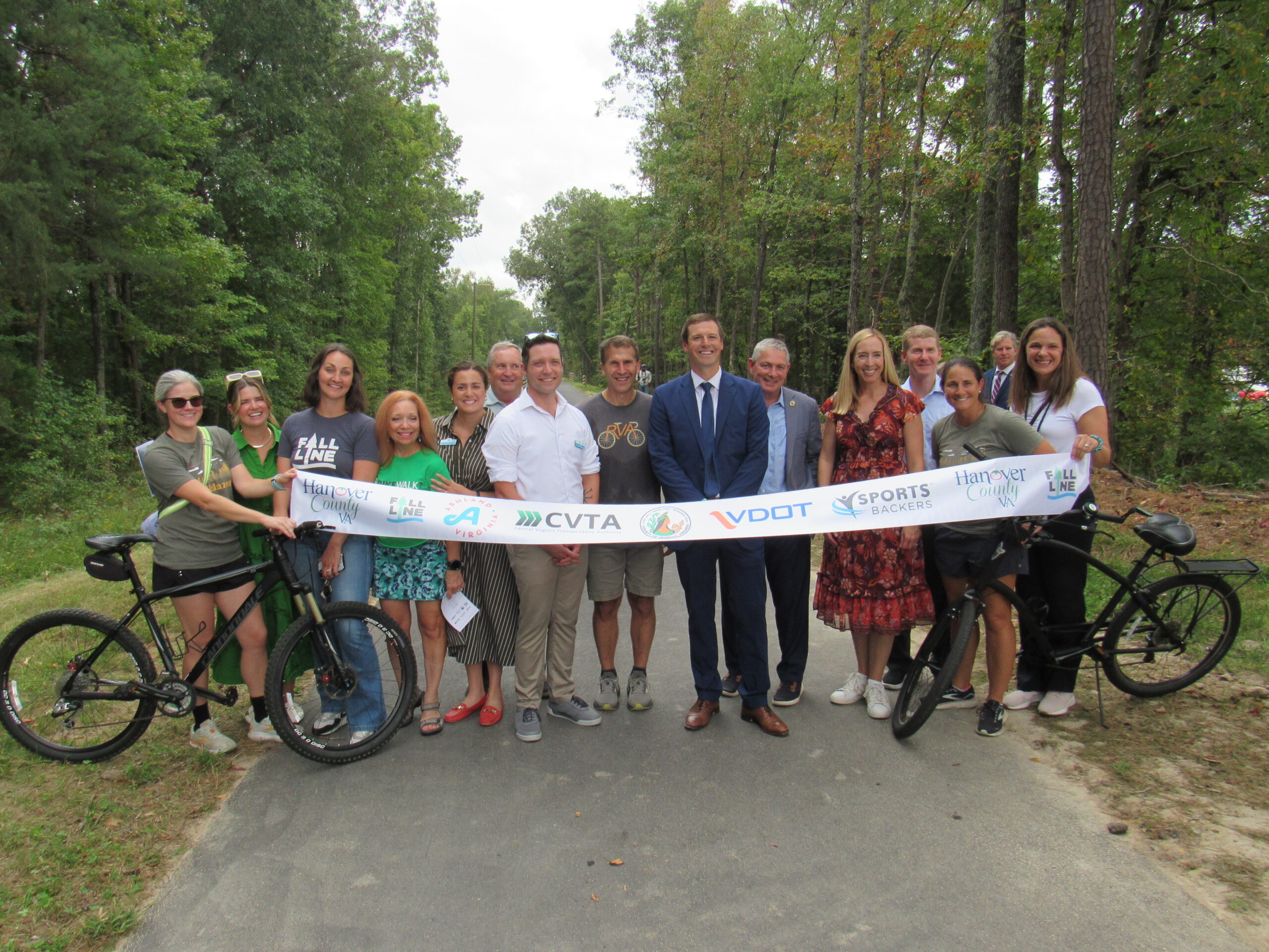
We are excited to announce that as of September 24, the Fall Line trail’s Hanover section is OPEN for trail users! This marks the beginning of a new chapter for the region, as we look towards a future of greater connectivity, recreational equity, and active transportation access. In the paragraphs that follow, you will find logistical information regard the trail and how to access it. We hope you enjoy your trail experience and continue to support this project as construction on the Henrico Sections and Petersburg/Chester/Colonial Heights Section begins in the coming months.

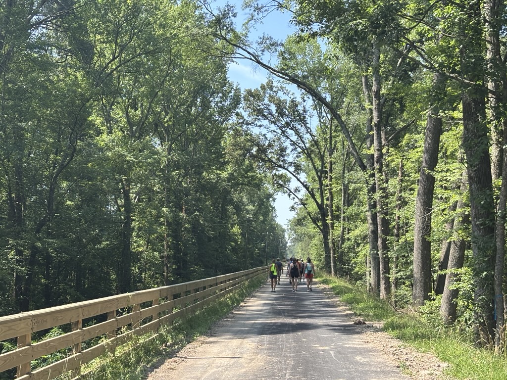
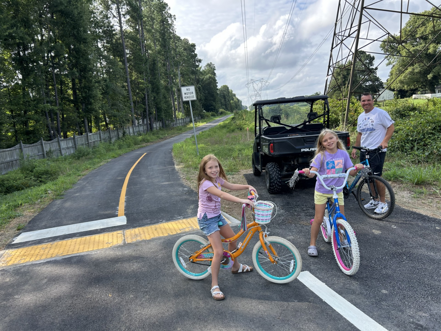
This trail segment is 4.8 miles long and runs between Carter Park in Ashland to Woodman Road in Henrico. The trail is paved, accessible, and separated from car traffic. Trail users can access the trail by walking, riding, rolling, running etc from public sidewalks, roads and parks.
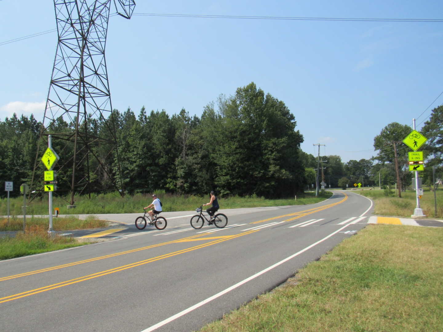
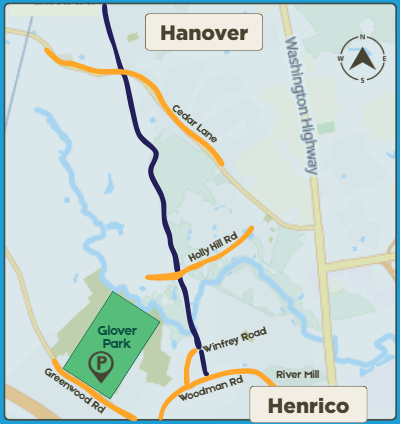
Please note: there are multiple marked intersections where the trail crosses active roads. Use caution when crossing and follow all posted traffic signage that is posted along the trail. Most of these crossings feature a trail-facing stop sign, altering trail users that they must stop before crossing the road. The intersection on Cedar Lane features a pedestrian flashing beacon on the crosswalk, allowing trail users to turn on the flashing lights to alert drivers they are crossing.
Navigating the Trail
The trail starts in Ashland at the intersection of Ashcake Road and Maple Street, adjacent to Carter Park. It then runs south on the Ashland Trolly line and continues underneath the power lines to Henrico County, where it crosses the Chickahominy River, to reach Woodman Road. You can view an interactive map of the trail here.
Where to Start
If you are starting your trail experience at the Ashland end, you can park at Carter Park – or better yet, park in downtown Ashland in a public lot so you can grab lunch or a beer after your walk or ride. From downtown Ashland, follow Center Street south to E Fracis Street, and then use the new Maple Street connector trail to reach the Fall Line through Carter Park.
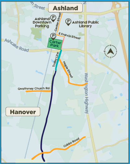
If you live nearby in Hanover, you can access the trail by simply walking or biking onto it from Maple Street, Gwathmey Church Road, Cobbs Road, Cedar Lane, or Holly Hill Road.
If you are starting your trail experience in Henrico, you can park at Glover Park and walk on the sidewalk or bike on Woodman Road to meet the trail between the intersections on Winfrey Road and Farmstead Mill Drive. If you are using the trail on the weekend, the Greenwood Elementary School parking lot may be available.
Trail FAQs
What should I bring on the trail?
Water, sunscreen, and bug spray. If you are biking, be sure to wear a helmet and use blinking lights if you are riding before sunrise or after sunset.
Do I need hiking boots or a mountainbike?
Tennis shoes and skinny tires will work just fine! The Fall Line trail is wide, paved, and smooth.
What time of day can I use the trail?
Anytime you like – the trail does not close. BUT make sure that if you drove to access the trail that your car is parked in a place that does not have time limits or gates that lock at night.
Do I need to stop at the trail stop signs?
Yes! The Fall Line trail crosses several roads. At these intersections trail users must stop for car traffic, before proceeding onto the crosswalks.
Happy Trails!